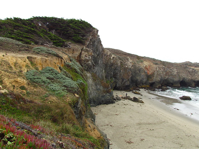
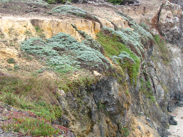
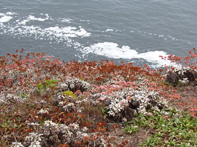
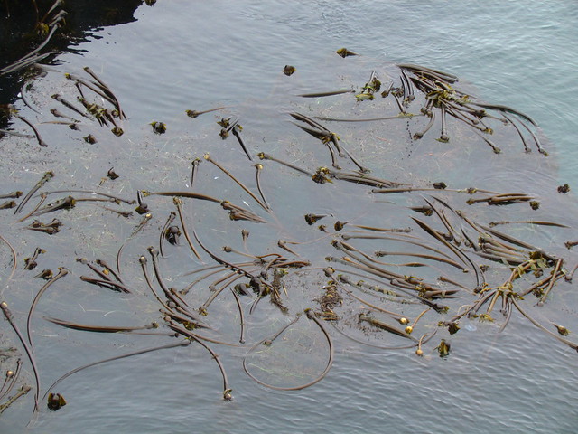
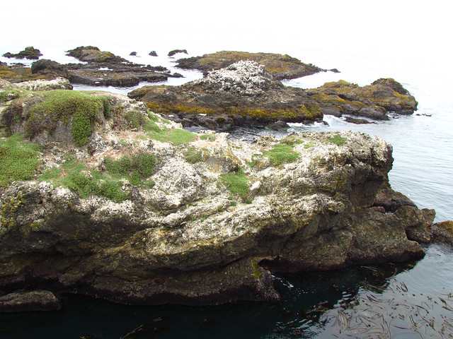
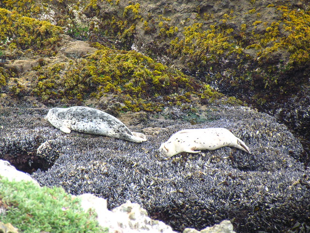
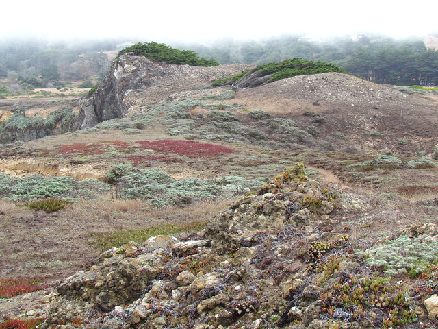
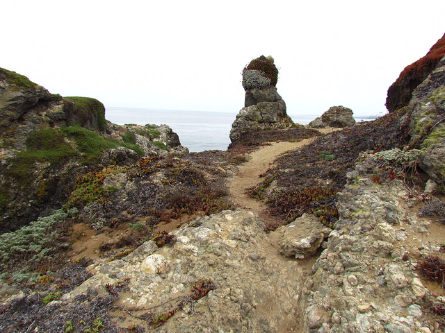
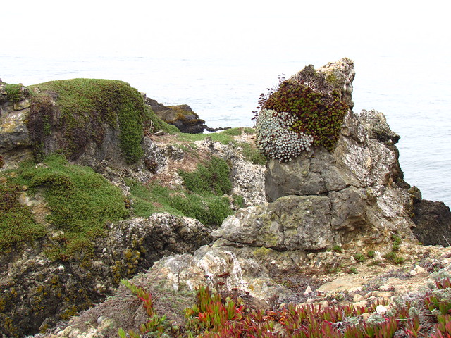
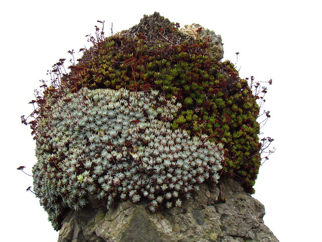
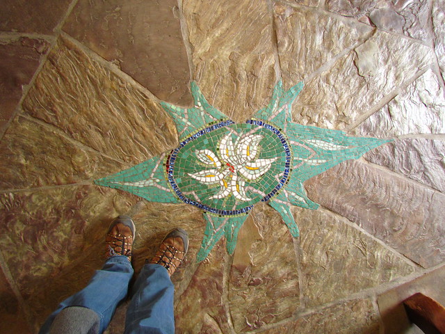
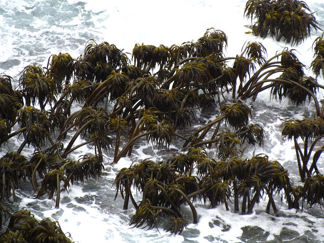
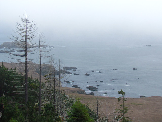
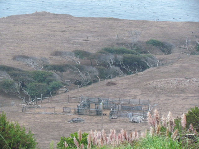
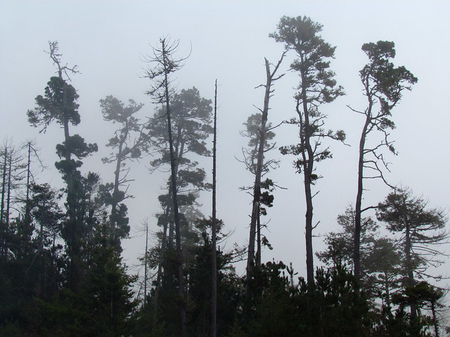
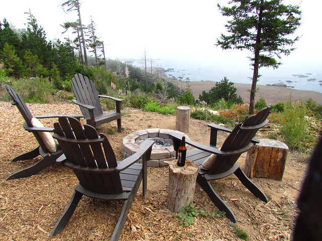
We went "glamping" in Stewarts Point a couple weekends ago. Sonoma County, north of Jenner. Just south of Sea Ranch. The next several pictures are from the Black Point Beach trail.
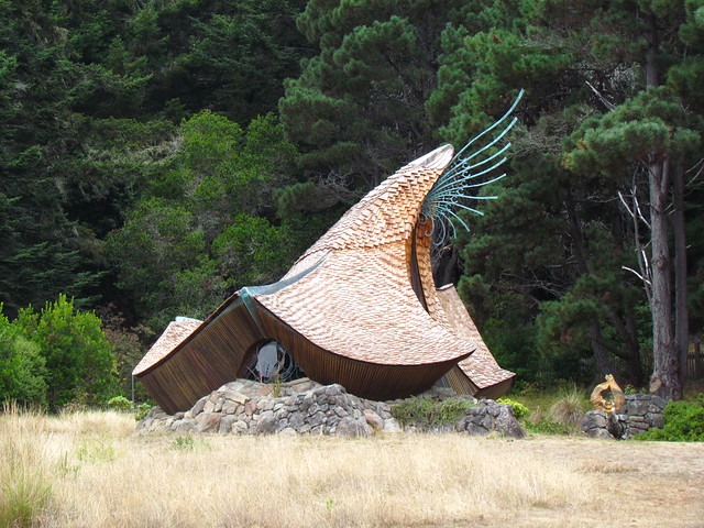
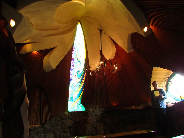
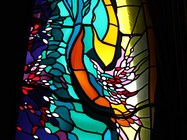
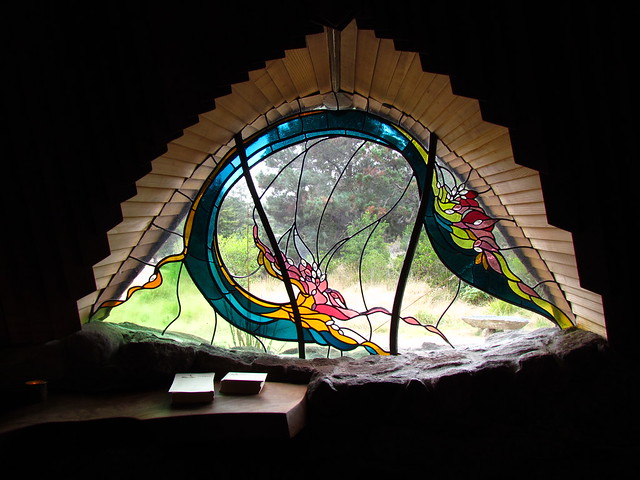
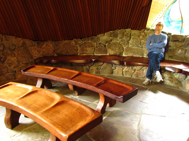
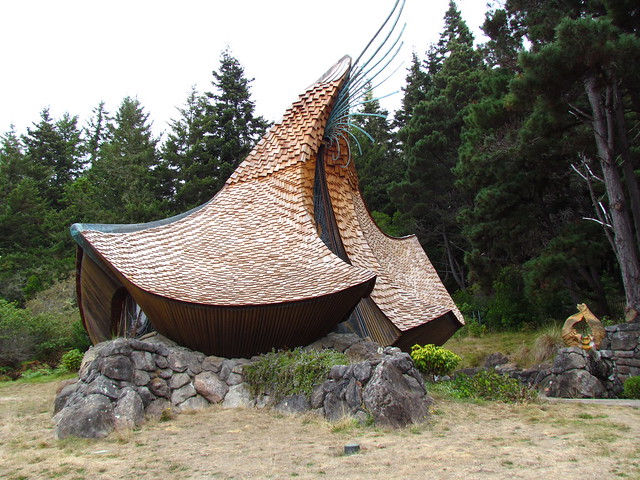
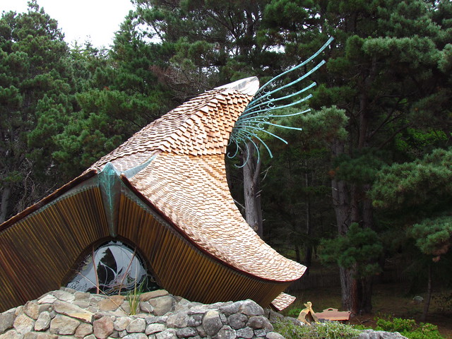
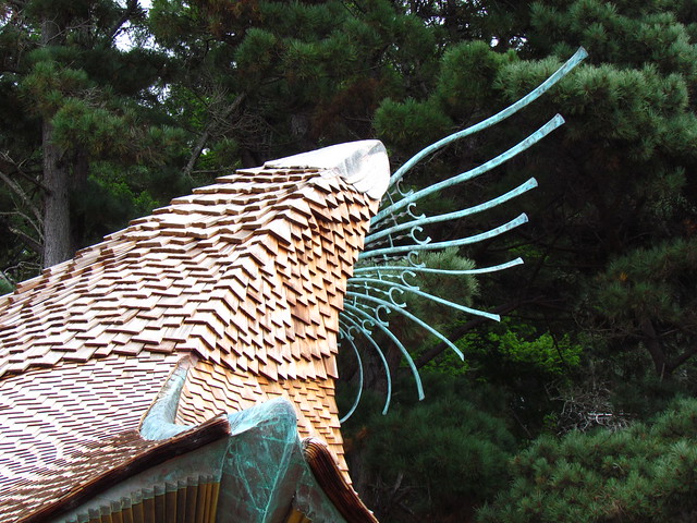
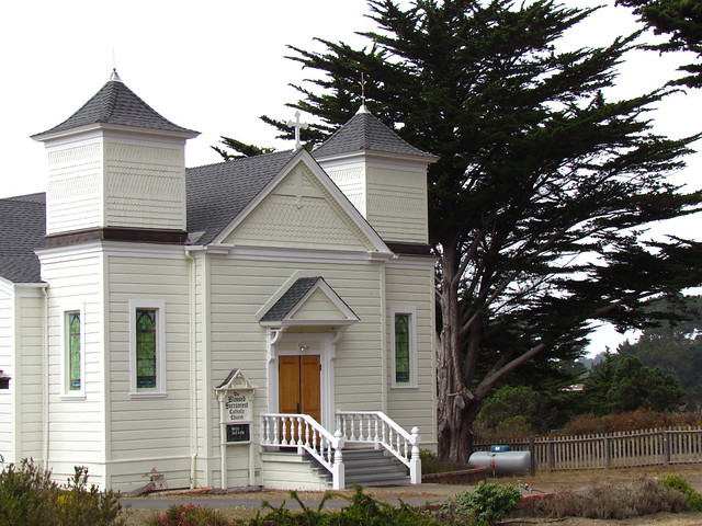
Sea Ranch Chapel. I thought it was older than 1985. Architected by James Hubbell, who is pretty well known out west, as architects go.
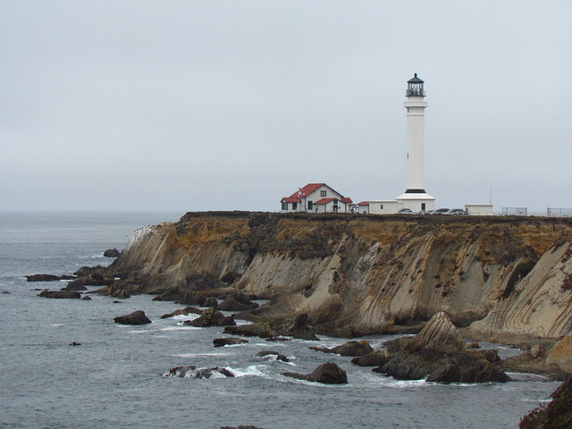
Point Arena Lighthouse. We did not take the tour, but the museum looked pretty cool. And, actually, this is Mendocino County.
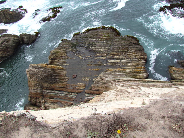
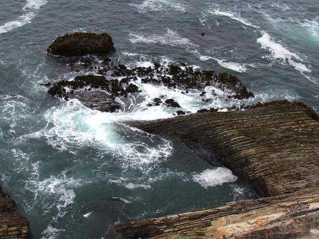
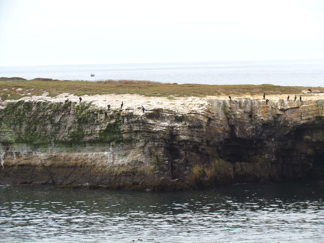
The cliffs outside the gate are among the sheerest, unprotected drops I can recall seeing in California, outside of Yosemite.
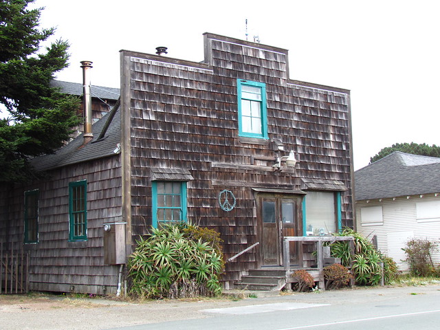
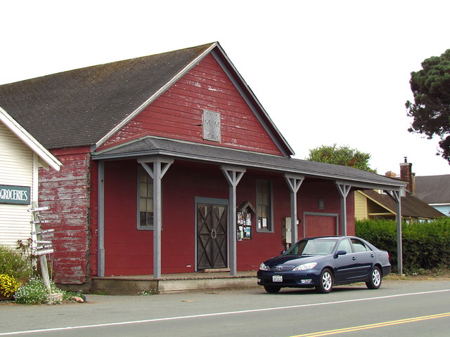
Elk, a cute little spit of a town right on Highway 1, south of Mendocino, and the northern-most point of our this jaunt this weekend.
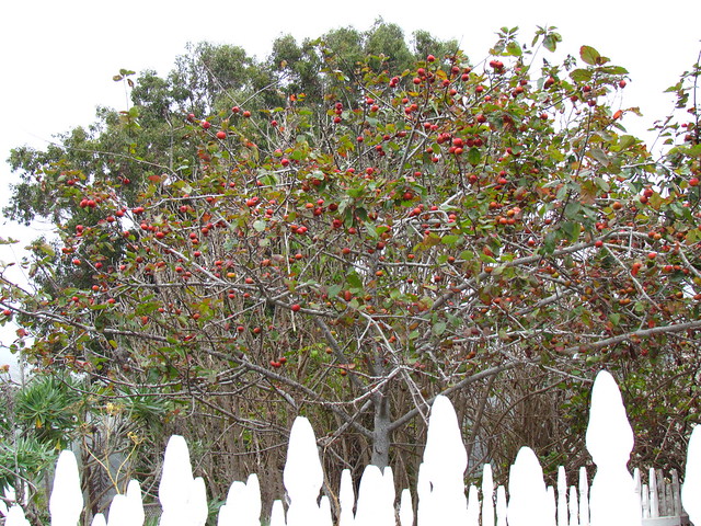
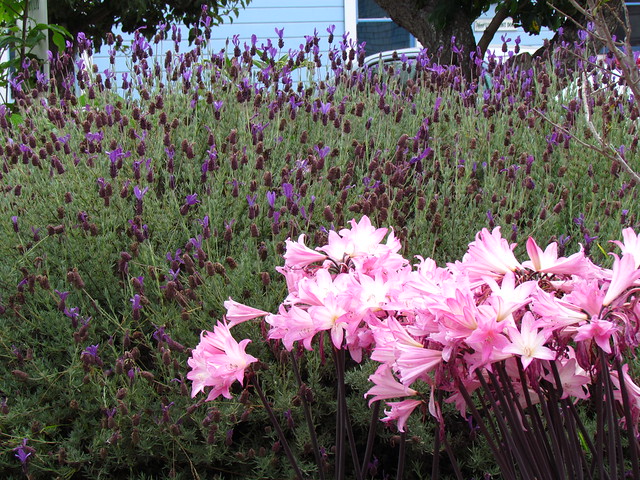
Naked ladies, enjoying the last of summer.
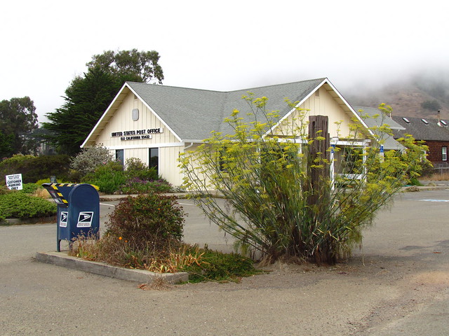
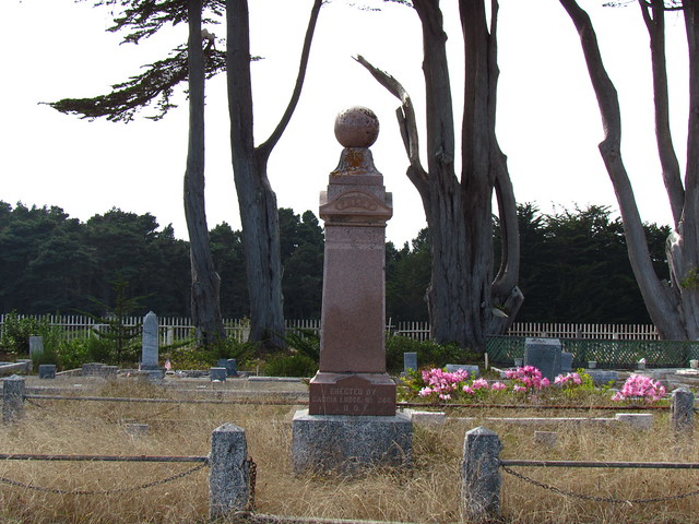
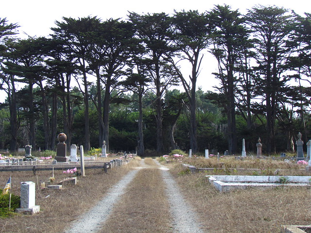
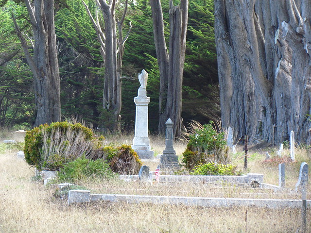
Odd Fellows Cemetery in Point Arena, heading back to glamp.
Sea Ranch Chapel. I thought it was older than 1985. Architected by James Hubbell, who is pretty well known out west, as architects go.
Point Arena Lighthouse. We did not take the tour, but the museum looked pretty cool. And, actually, this is Mendocino County.
The cliffs outside the gate are among the sheerest, unprotected drops I can recall seeing in California, outside of Yosemite.
Elk, a cute little spit of a town right on Highway 1, south of Mendocino, and the northern-most point of our this jaunt this weekend.
Naked ladies, enjoying the last of summer.
Odd Fellows Cemetery in Point Arena, heading back to glamp.
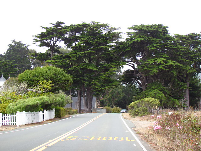
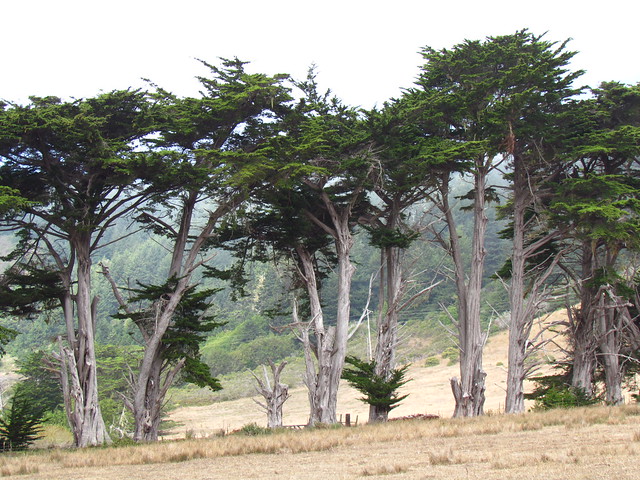
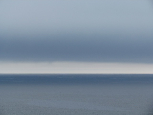
The coastal mise-en-scène was not quite as austerely monochromatic as the pictures would indicate. But still.
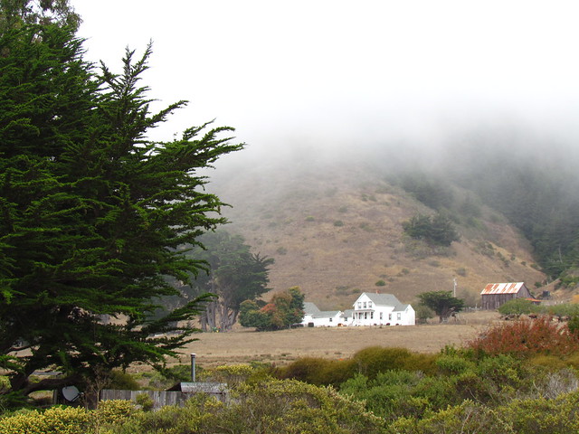
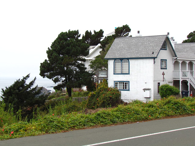
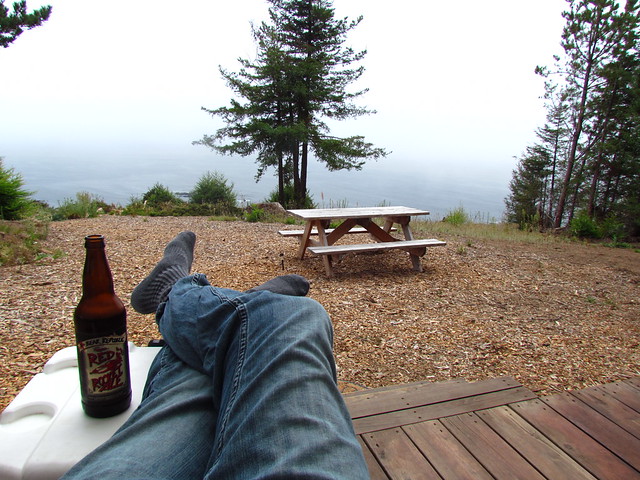
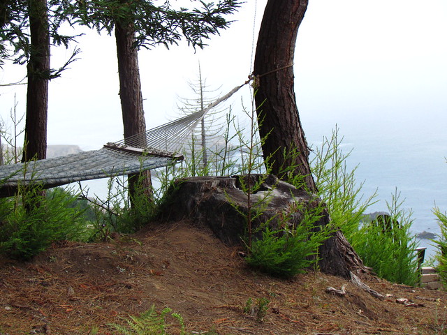
The view back at glamp:
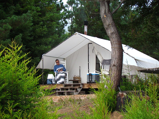
It was cozy enough.